WA5607 : The road up beside Fort Tourgis
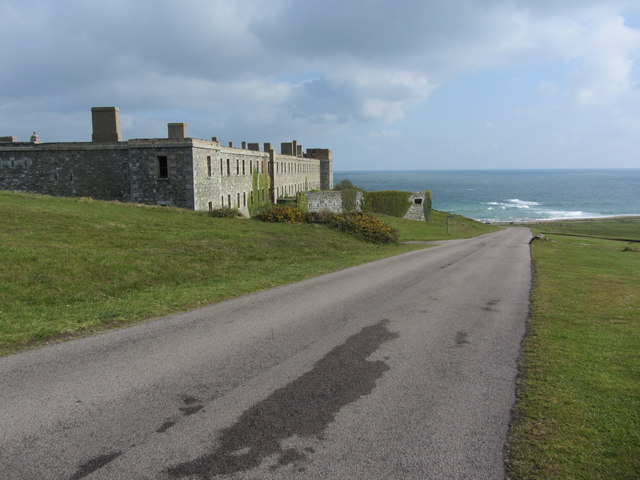
The road up beside Fort Tourgis
This extensive fort was constructed by the British government in 1855 in order to provide defence for the Alderney Breakwater. It was adapted by German occupying forces during World War II. Since then it has been in a ruinous state but there are plans to develop the site.
![Creative Commons Licence [Some Rights Reserved]](http://s0.geograph.org.gg/img/somerights20.gif)
year taken
2012
| Find out how to reuse this Image For example on your webpage, blog, a forum, or Wikipedia. | |||||
 |
Suggest an Update to this Image |  |
Contact the contributor | ||
- Grid Square
- WA5607, 12 images (more nearby)
- Photographer
- Colin Park (find more nearby)
- Image classification
- Geograph
- Date Taken
- Tuesday, 24 April, 2012 (more nearby)
- Submitted
- Monday, 30 April, 2012
- Category
- Fort (more nearby)
- Subject Location
-
MGRS:
 WA 5635 0769 [10m precision]
WGS84: 49:43.1444N 2:13.0960W - Photographer Location
-
MGRS: WA 5628 0757
- View Direction
- North-northeast (about 22 degrees)

