WV6949 : Farmland above the reservoir
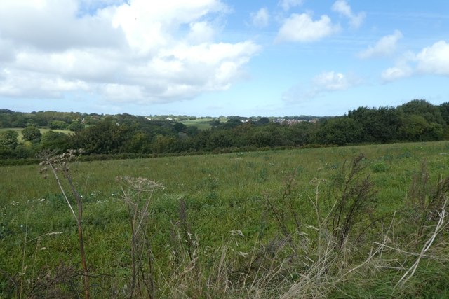
Farmland above the reservoir
Looking down the fields towards Queen's Valley Reservoir from La Rue des Teurs Champs.
![Creative Commons Licence [Some Rights Reserved]](http://s0.geograph.org.gg/img/somerights20.gif)
year taken
2019
| Find out how to reuse this Image For example on your webpage, blog, a forum, or Wikipedia. | |||||
| Suggest an Update to this Image | Contact the contributor | ||||
- Grid Square
- WV6949, 11 images (more nearby)
- Photographer
- DS Pugh (find more nearby)
- Image classification
- Geograph
- Date Taken
- Wednesday, 4 September, 2019 (more nearby)
- Submitted
- Monday, 25 May, 2020
- Category
- Farmland (more nearby)
- Subject Location
-
MGRS:
 WV 6981 4984 [10m precision]
WGS84: 49:11.8429N 2:2.5058W - Photographer Location
-
MGRS: WV 69855 49818
- View Direction
- West-northwest (about 292 degrees)