WV6448 : La Route de La Liberation
La Route de La Liberation
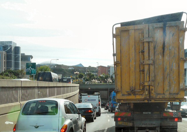
The main west-east route through St Helier uses an underpass to avoid the Castle Street roundabout.
![Creative Commons Licence [Some Rights Reserved]](http://s0.geograph.org.gg/img/somerights20.gif)
year taken
2010
| Find out how to reuse this Image For example on your webpage, blog, a forum, or Wikipedia. | |||||
| Suggest an Update to this Image | Contact the contributor | ||||
- Grid Square
- WV6448, 54 images (more nearby)
- Photographer
- Gerald England (find more nearby)
- Image classification
- Geograph
- Date Taken
- Wednesday, 6 October, 2010 (more nearby)
- Submitted
- Thursday, 9 February, 2012
- Category
- Underpass (more nearby)
- Subject Location
-
MGRS:
 WV 6464 4824 [10m precision]
WGS84: 49:11.0134N 2:6.7786W - Photographer Location
-
MGRS: WV 6464 4825
- View Direction
- South-southeast (about 157 degrees)