WV6448 : La Route du Port Elizabeth
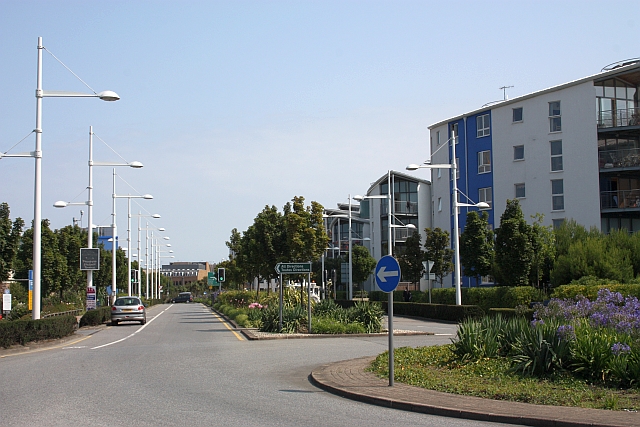
La Route du Port Elizabeth
The dual carriageway from the Catamaran ferry port into St.Helier and the whole of Jersey.
![Creative Commons Licence [Some Rights Reserved]](http://s0.geograph.org.gg/img/somerights20.gif)
year taken
2009
| Find out how to reuse this Image For example on your webpage, blog, a forum, or Wikipedia. | |||||
| Suggest an Update to this Image | Contact the contributor | ||||
- Grid Square
- WV6448, 54 images (more nearby)
- Photographer
- Bob Embleton (find more nearby)
- Image classification
- Geograph
- Date Taken
- Sunday, 9 August, 2009 (more nearby)
- Submitted
- Sunday, 23 May, 2010
- Category
- road (more nearby)
- Subject Location
-
MGRS:
 WV 6462 4813 [10m precision]
WGS84: 49:10.9542N 2:6.7961W - Photographer Location
-
MGRS: WV 6457 4805
- View Direction
- North-northeast (about 22 degrees)