WV3280 : Parish boundary
Parish boundary
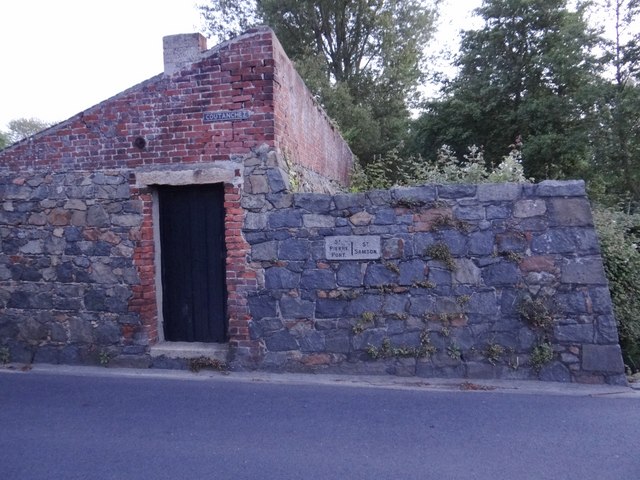
Plaque on the wall showing St Peter Port (St Pierre Port) to the left and St Sampson (St Samson) to the right.
![Creative Commons Licence [Some Rights Reserved]](http://s0.geograph.org.gg/img/somerights20.gif)
year taken
2012
| Find out how to reuse this Image For example on your webpage, blog, a forum, or Wikipedia. | |||||
| Suggest an Update to this Image | Contact the contributor | ||||
- Grid Square
- WV3280, 2 images (more nearby)
- Photographer
- Ian Paterson (find more nearby)
- Image classification
- Supplemental image
- Date Taken
- Wednesday, 13 June, 2012 (more nearby)
- Submitted
- Saturday, 16 June, 2012
- Category
- Parish Boundary (more nearby)
- Subject Location
-
MGRS:
 WV 3263 8007 [10m precision]
WGS84: 49:28.3441N 2:32.9765W - Photographer Location
-
MGRS: WV 3263 8007
- View Direction
- North-northwest (about 337 degrees)